Town / Municipality

Explore Guacimal

Find unique stays, off-grid homes, land, communities, and local experiences around Guacimal, Monteverde.

At a glance

Stays —
Properties for sale —
Land listings —
Communities 1
Upcoming events —

About Guacimal

Guacimal is a rural district on the Pacific side of the Tilarán mountains, in Puntarenas province, below Monteverde. It covers about 114.9 square kilometres of hills, farms and river valleys and is home to around 1339 people according to the 2022 count, so it feels like open countryside rather than a village.

At about 350 metres above sea level it is warmer and drier than the cloud forest uphill, with pasture and fruit trees on the slopes and forest along the rivers. A road climbs from here to Santa Elena and the Monteverde reserves, which makes Guacimal a quiet, affordable base for visiting the cloud forest without staying in the busy town.

The area is part of a biological corridor that helps forest wildlife move between the mountains and the lowlands, and local groups work on reforestation and protecting the rivers. The long-distance Pacific Hiking Trail passes through.

On Off Grid Destinations you can find the Sustainability Center of Costa Rica, a community organisation in Guacimal building an intentional community around good living, with two cabins whose income funds its local programmes.

Tours and activities. Cloud forest walks, night tours and coffee tours in Monteverde, uphill from Guacimal: see what is on offer on GetYourGuide.
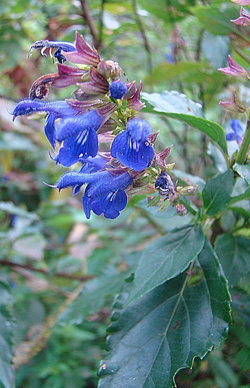
Salvia pteroura, photographed near Guacimal
Salvia pteroura, photographed near Guacimal. Photo: Dick Culbert from Gibsons, B.C., Canada / Wikimedia Commons, CC BY 2.0
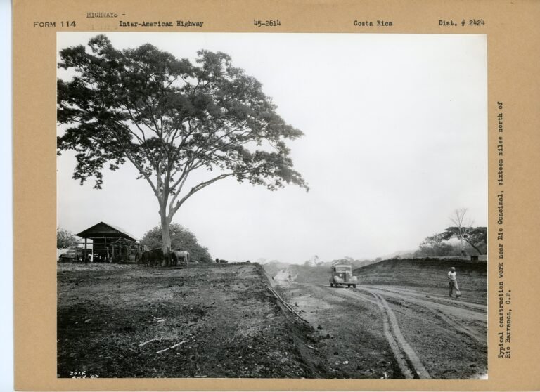
Historic photo: road building near Guacimal
Historic photo: road building near Guacimal. Photo: Department of Commerce. Bureau of Public Roads. 8/20/1949-4/1/1967 / Wikimedia Commons, Public domain
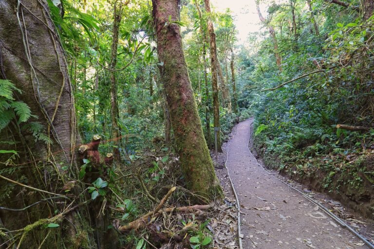
Monteverde Cloud Forest Reserve, uphill from Guacimal
Monteverde Cloud Forest Reserve, uphill from Guacimal. Photo: Cephas / Wikimedia Commons, CC BY-SA 4.0
Salvia pteroura, photographed near Guacimal
Salvia pteroura, photographed near Guacimal. Photo: Dick Culbert from Gibsons, B.C., Canada / Wikimedia Commons, CC BY 2.0
Historic photo: road building near Guacimal
Historic photo: road building near Guacimal. Photo: Department of Commerce. Bureau of Public Roads. 8/20/1949-4/1/1967 / Wikimedia Commons, Public domain
Monteverde Cloud Forest Reserve, uphill from Guacimal
Monteverde Cloud Forest Reserve, uphill from Guacimal. Photo: Cephas / Wikimedia Commons, CC BY-SA 4.0
Stays
Select dates
Guests
Community

Upcoming Events in Guacimal

List an Event →

No events match right now.

Explore Guacimal →

What to confirm before booking in Guacimal

Before enquiring, confirm road access, parking, internet, water, power setup, distance to town or beach, current pricing, cancellation terms, and whether the stay suits your comfort level, group size, and travel plans.

FAQs about Guacimal

In Puntarenas province, Costa Rica, on the Pacific slope below Monteverde and Santa Elena.

Yes. A road climbs from Guacimal to Santa Elena and the cloud forest reserves, and it is quieter and warmer than the town.

Warmer and drier than Monteverde, as the district sits much lower, at about 350 metres.

Farms, rivers and forest corridors, the Pacific Hiking Trail, and community projects working on reforestation.

Explore Guacimal off-grid

Browse unique stays, eco communities, properties for sale, and land listings across Guacimal.

Connected with a community or property here? Request an update →